by Arthur | Oct 5, 2016 | Atlanta connections, mapping, SIF Projects
Dr. Jeffery Glover and I are currently creating an interactive web-map for the Flat Rock Archives. The map will be created through ArcGIS, a geospatial mapping software. It will feature the graves within the Flat Rock Cemetery, a search engine to find a particular...
by | Mar 4, 2016 | 3D Atlanta, Atlanta connections, Homepage, mapping, News
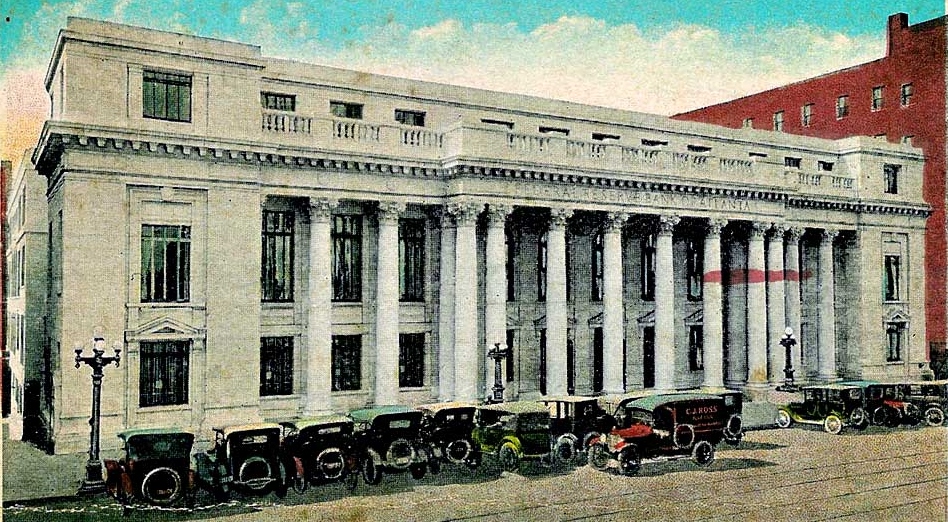
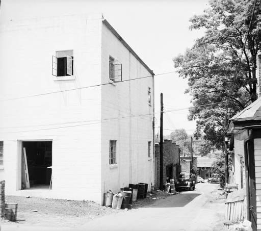
As part of our efforts to map historic Atlanta, SIF fellows have geo-tagged a GSU Library/Atlanta-Fulton Central Library collection of glass plate negative photographs from the 1920s. These beautiful images provide rare glimpses into the area around the Five Points...

by aorrego1@gsu.edu | Feb 29, 2016 | 3D Atlanta, 3D modeling, Atlanta connections, digital humanities, mapping
Being immersed in Atlanta’s downtown history is one of the biggest perks that Georgia State University’s location offers students and faculty. One of the newest projects I have been working on takes advantage of this unique opportunity. The project uses...

by ptayi1@gsu.edu | Feb 29, 2016 | 3D Atlanta, 3D modeling, Atlanta connections, digital humanities, How To, instructional videos, mapping
Last month has been exciting for me as I was exploring and learning new things like working on Photoshop and I also ended up making my first video tutorial. Glass Plate Negative Geotagging – Photo Stitching Project: Below is an image of the map with all the geotagged...

by Andrew Berens | Dec 7, 2015 | Atlanta connections, mapping
Recently I met with two of the heads of the SIF program, Joe Hurley and Brennan Collins, concerning the photo geotagging project. The photo geotagging project involves determining the location where various photos from the GSU Digital Collections were taken from. The...

by Krisna Patel | Nov 30, 2015 | 3D modeling, Atlanta connections, digital humanities, mapping, SIF Projects
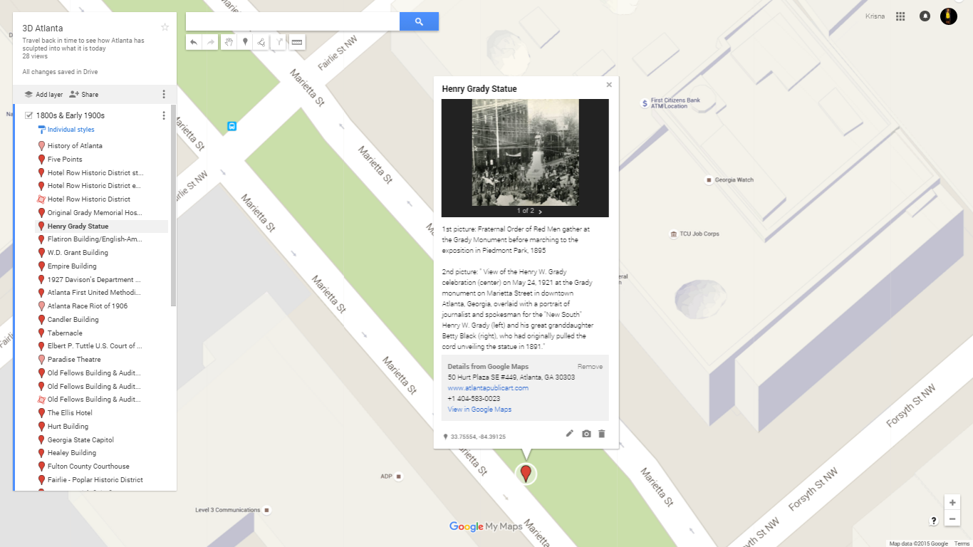
Continuing to work on 3D Atlanta, I have been continuing to organize all of our research about Atlanta for the convenience of both the research and the modeling side. We decided that we needed to create an intermediary between the two groups so the modeling side can...


