Ali Shiraef

English 1103H

Category: Built Environment Descriptions (page 2 of 3)

D.H. Stanton Park (BED 2, Artifact 4)

dsc_0134dsc_0118dsc_0097 dsc_0096 dsc_0095dsc_0103

One thing I found interesting about this park was the amount of grills and seating space. There were multiple grills, picnic tables, trash cans, and rooftops. The existence of these objects gave the park more of a big family feel, like a park for big events and cookouts. I have a large family, and this park made me think of the times my family took me to big parks to celebrate holidays like New Years and the 4th of July. Something I was particularly impressed by were the chess/checkers tables!

D.H. Stanton Park (BED 2, Artifact 3)

dsc_0111 dsc_0110dsc_0104dsc_0102 dsc_0101dsc_0098dsc_0127

The playground at D.H. Stanton was nothing less than impressive. I would have loved a place like this as a kid, especially if it were as close to my neighborhood as it is to the neighborhood I parked in. There were numerous swings, riding toys, monkey bars, slides, and those really cool pipeline speakers that let you talk through one and hear it through the other. The playground seemed friendly to all ages, especially considering how later in my trip a family of four with very small children came and played.

D.H. Stanton Park (BED 2, Artifact 2)

dsc_0094 dsc_0093dsc_0135 dsc_0113 dsc_0114dsc_0109

The structure of D.H. Stanton Park was surprising to me, considering how urban the area is around it. The park consisted of multiple playgrounds, multiple eating areas, a walking/biking path, a recreational softball field, a completely constructed bathroom facility, and a humungous open field. The park was almost entirely clean, and completely developed. I personally loved the feel of this park. It was welcoming, peaceful, and stunningly beautiful. Granted, it was a gorgeous day, but I felt that the park was very pleasing to the eye.

D.H. Stanton Park (BED 2, Artifact 1)

dsc_0133dsc_0132 dsc_0131 dsc_0119

Puppy!

As I explored D.H. Stanton Park, one of the Beltline’s many parks, my favorite part was this dog that I encountered. This pup and his/her owner were minding their own business on a leisurely walk through the park. It’s an entirely dog friendly park, with doggy bag stations placed throughout. I absolutely adore dogs, and any attractions in the city that make it easier for people to have dogs around are something I am absolutely supportive of. (Notice the adorable bark in the attached clip above)

Undeveloped Southside Beltline Trail (BED 3)

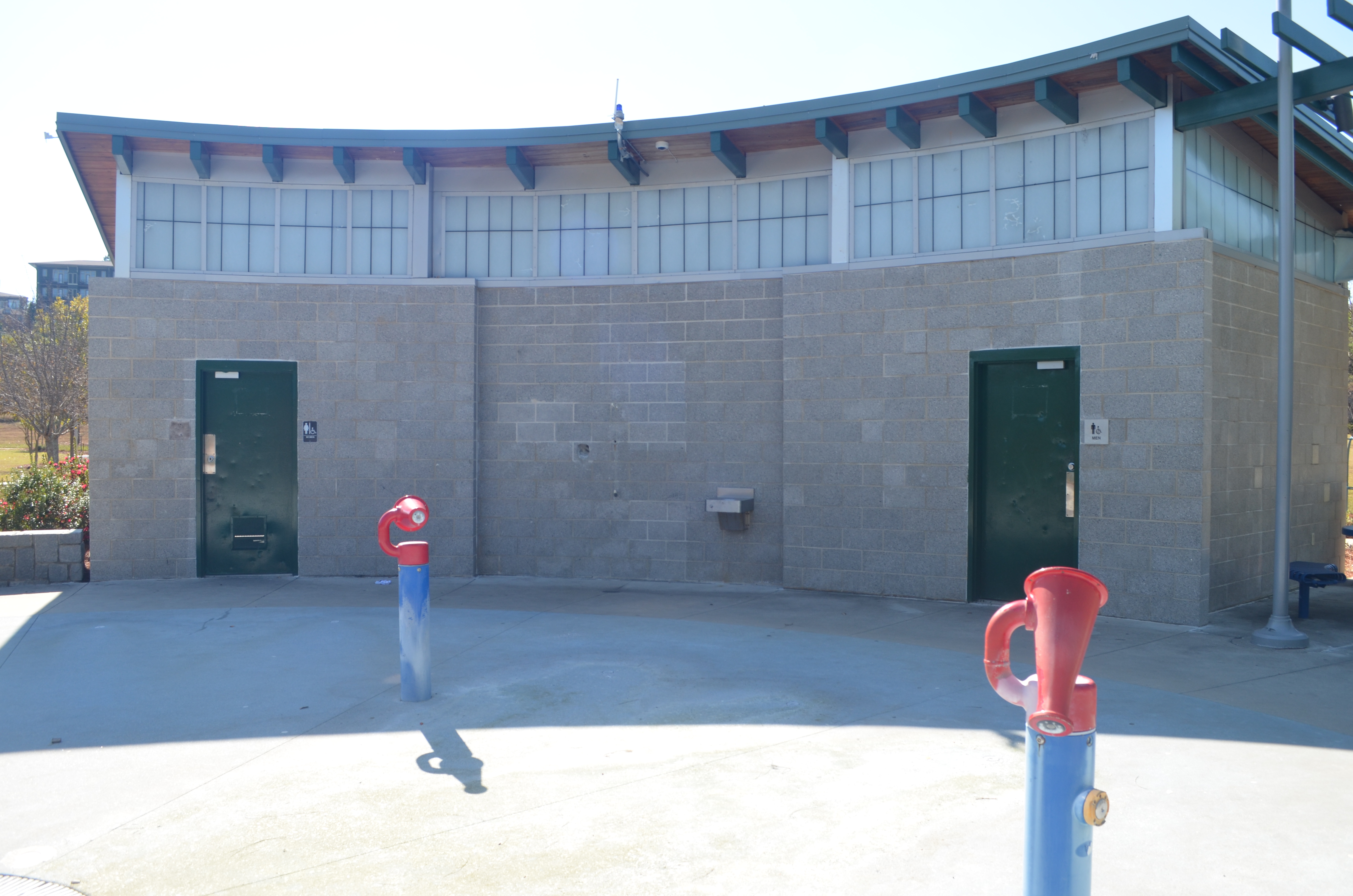
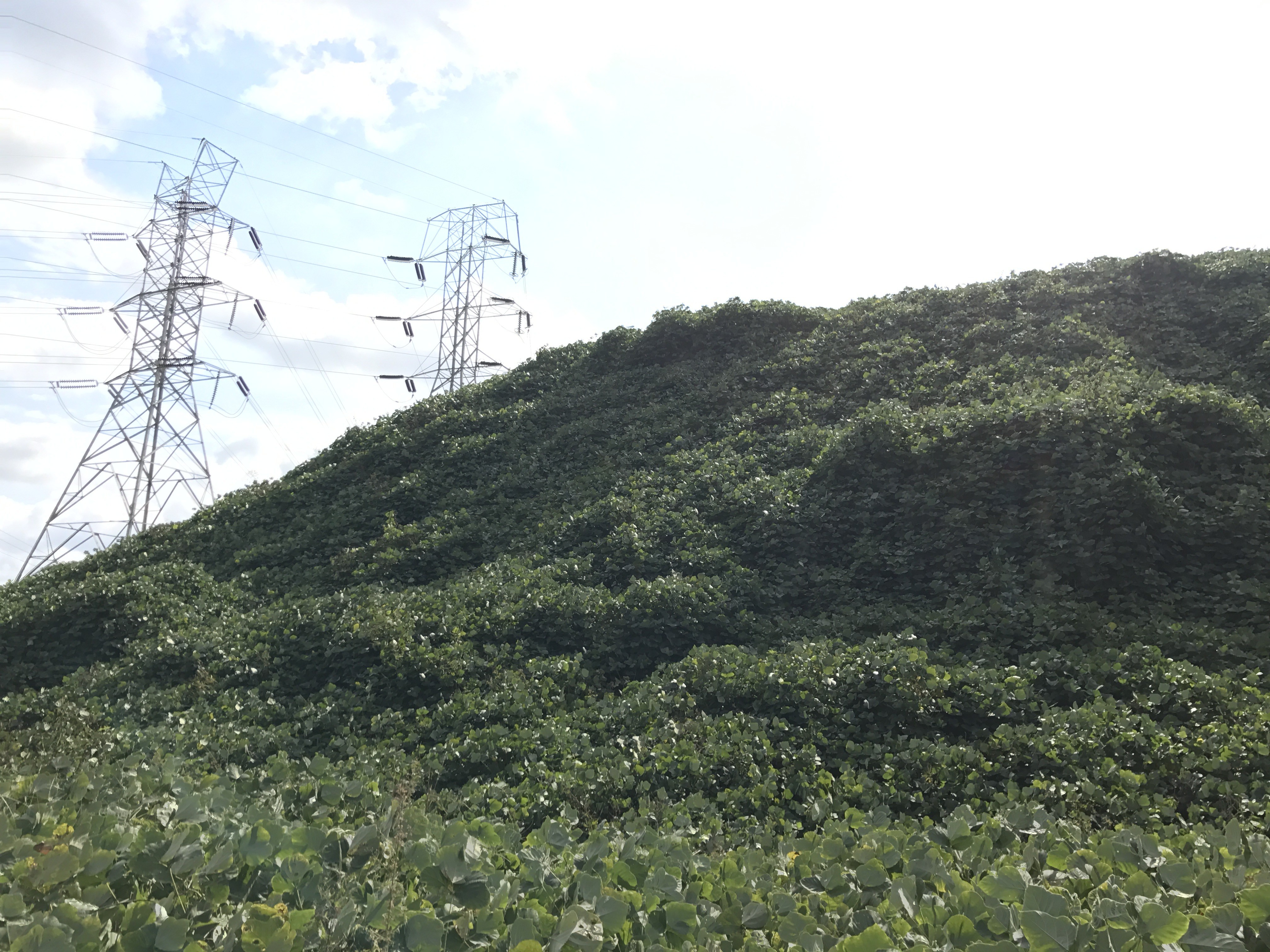
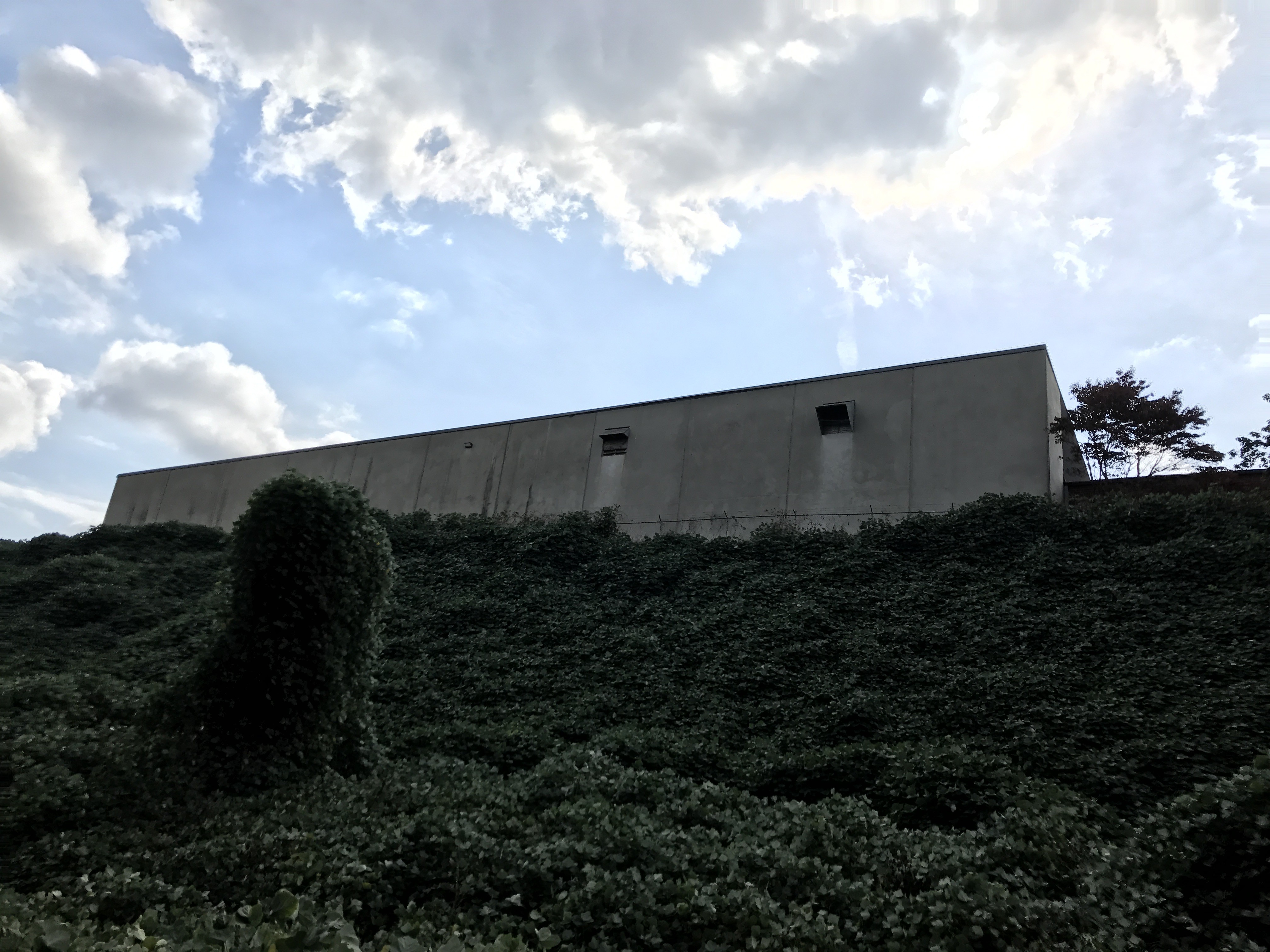
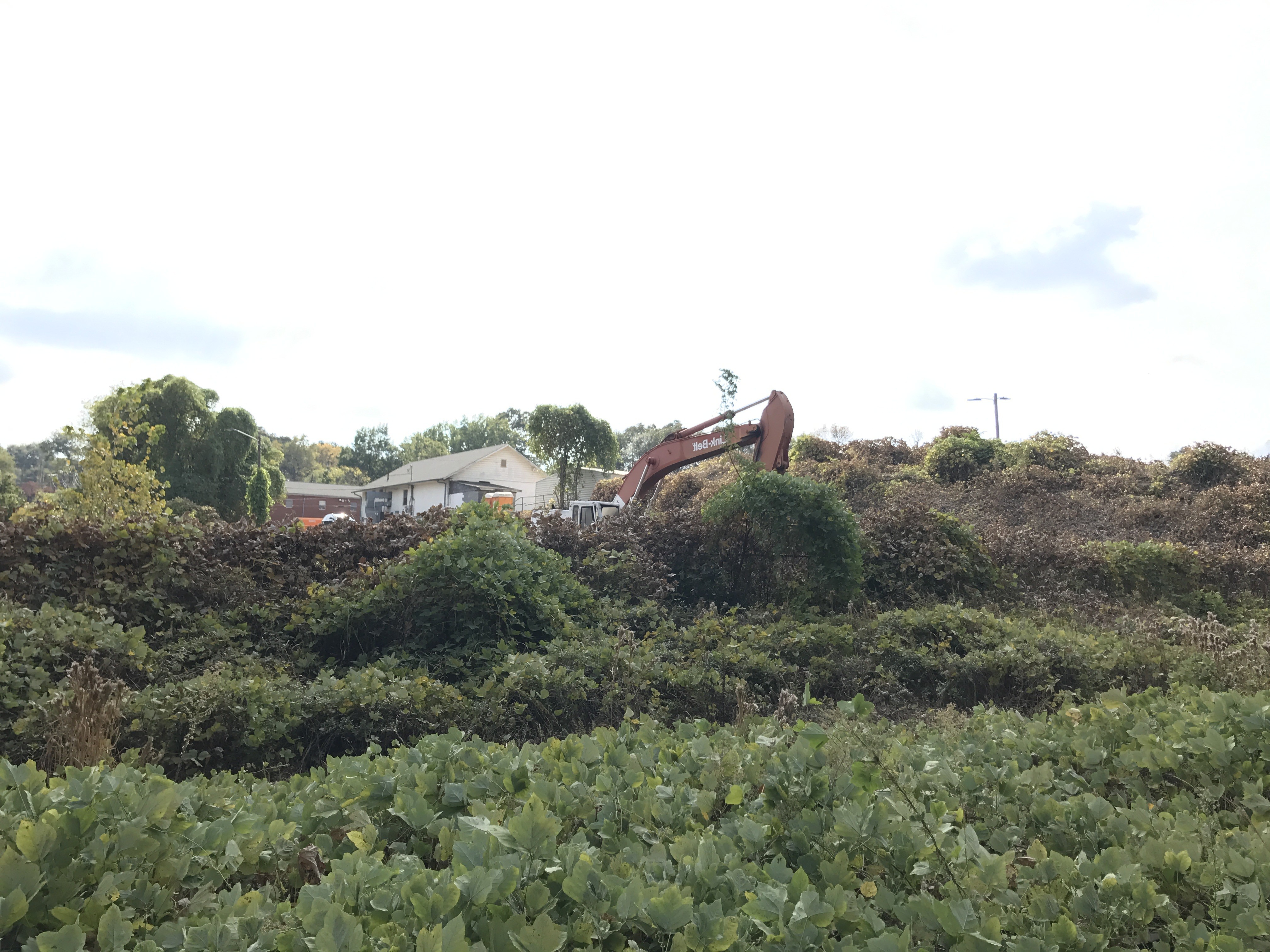
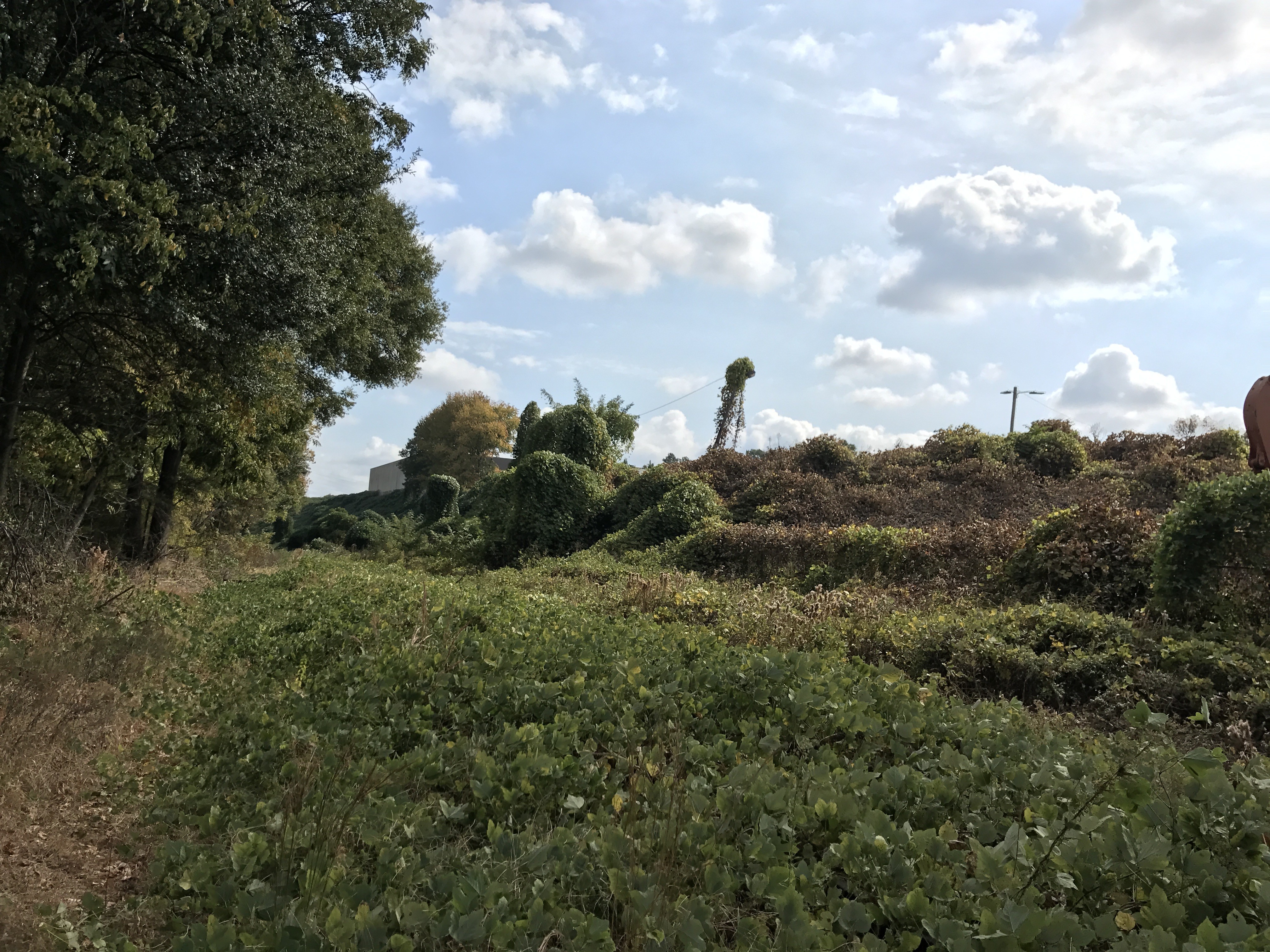
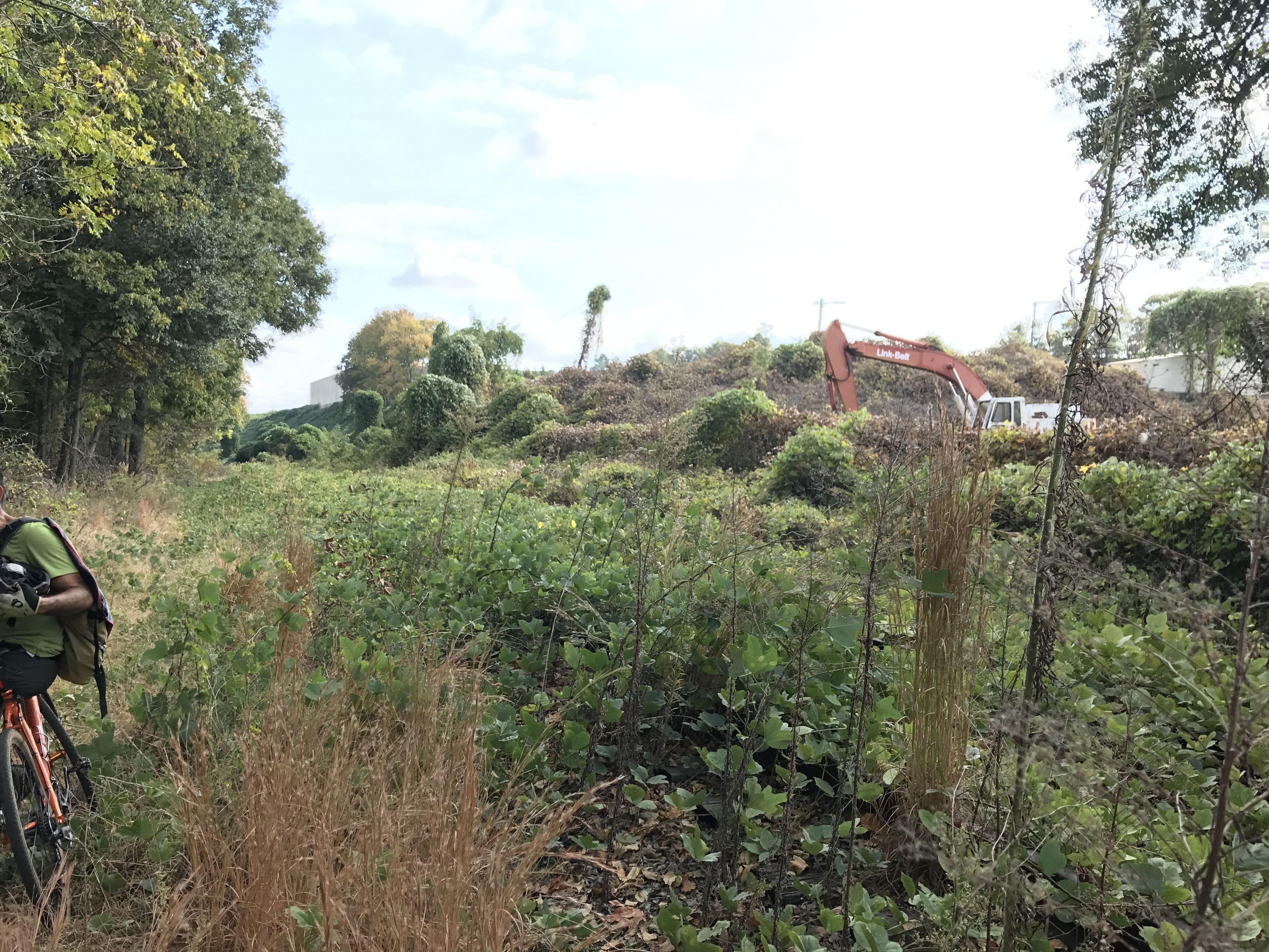
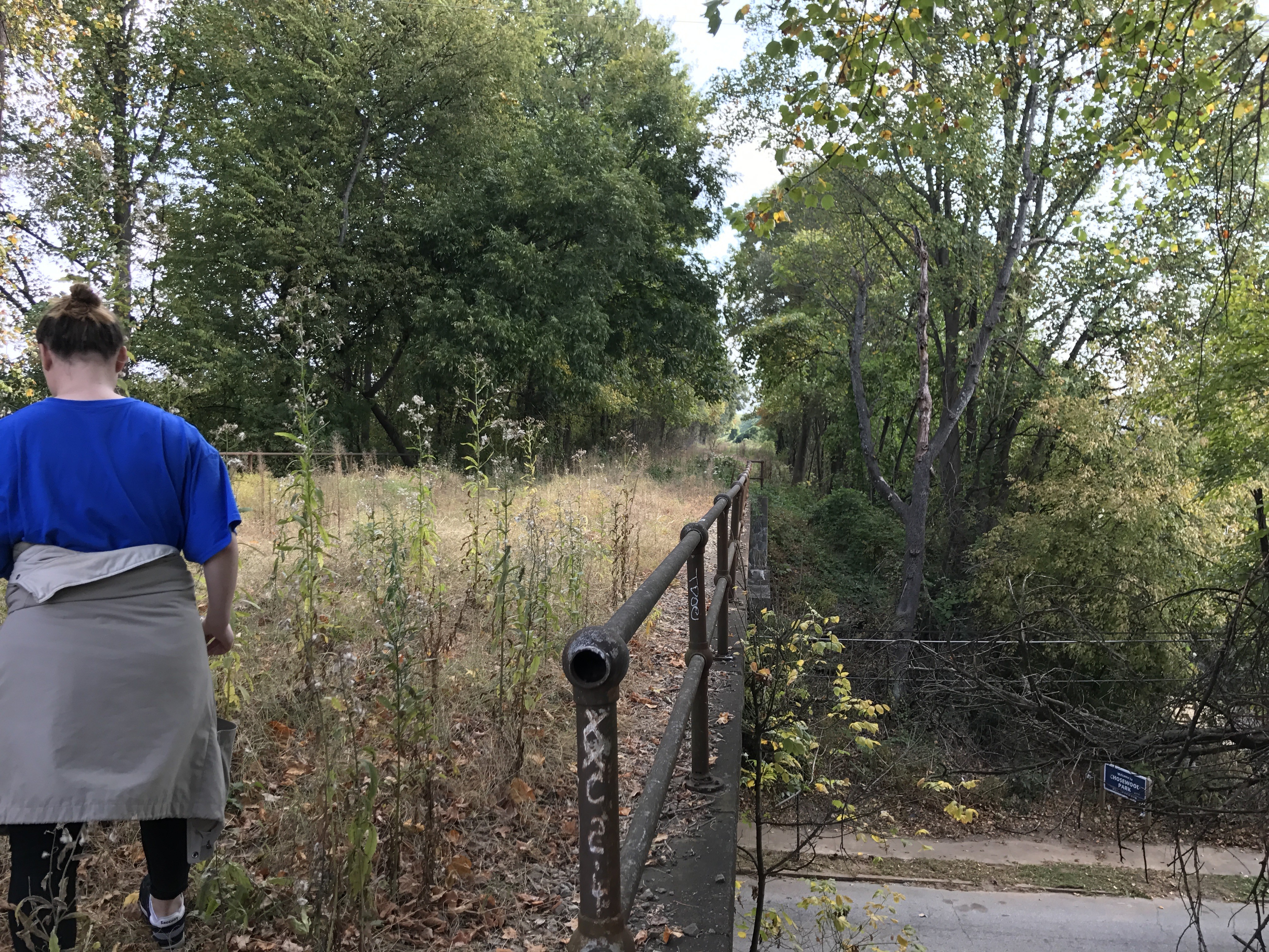
Hiking the untouched Southside Beltline Trail was a difficult feat. It was a hot day, there were thorns and weeds all over the ground, and the insects drove me insane. However, the trek was completely worth it. As a student attempting to piece together what the Beltline truly is, I felt that documenting this section was very necessary.

As you hike this man-made trail, the amount of kudzu surrounding you might be the first and only thing you observe. However, with continued investigation, you will notice the historic railroad still in existence right next to your feet. Yes, it is nearly invisible due to the amount of overgrowth, but it is there. For someone who appreciates the Beltline project and its intentions, this spot should be fascinating and imaginative. Having walked the completely finished parts of the Beltline myself, I constantly looked down both ends of the path trying to imagine what a completed Beltline trail would look like. Would it bring in new businesses? Would these empty spaces become parks and recreational facilities? Would people use this trail leisurely or simply as a mode of transportation?

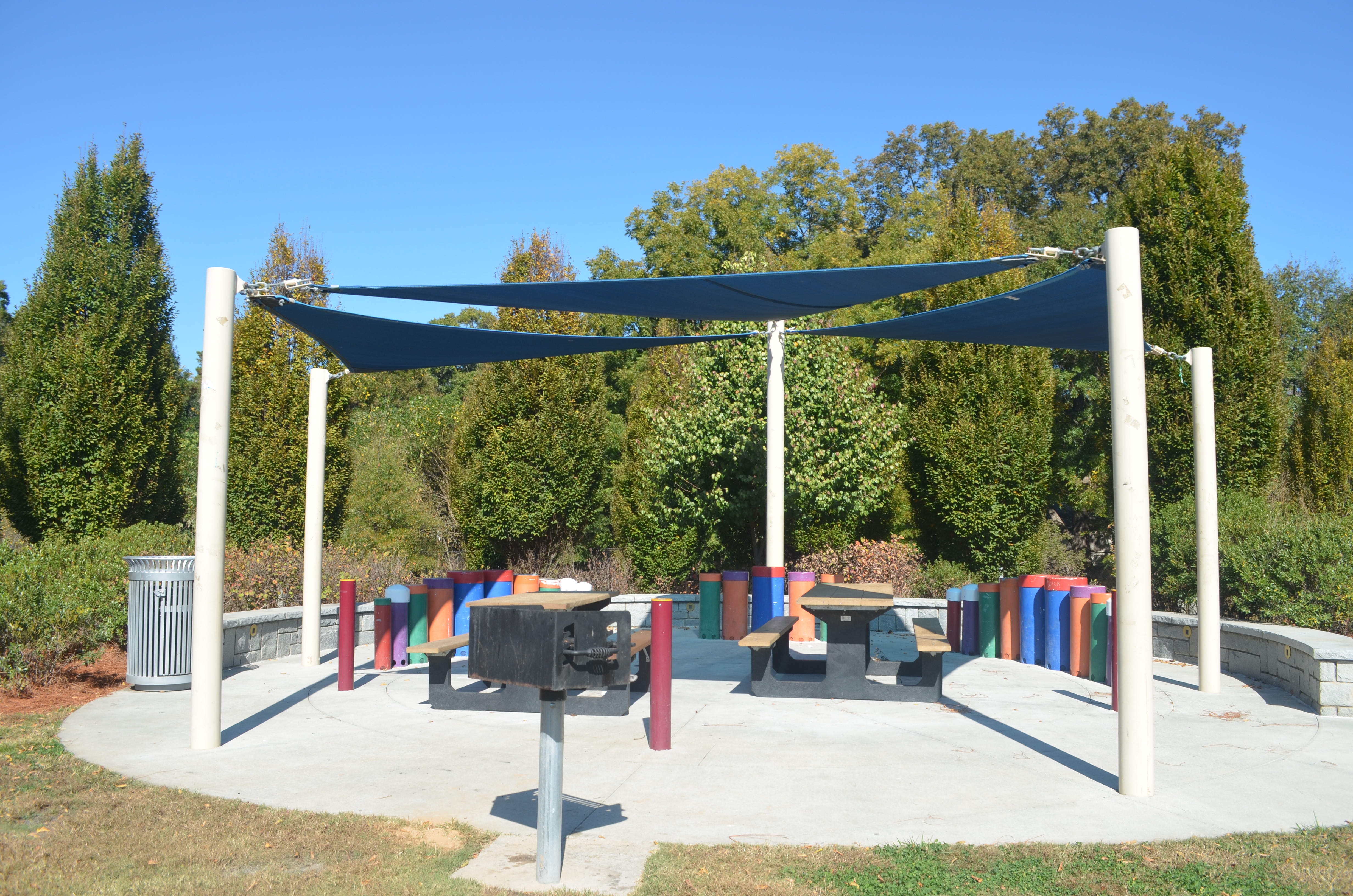
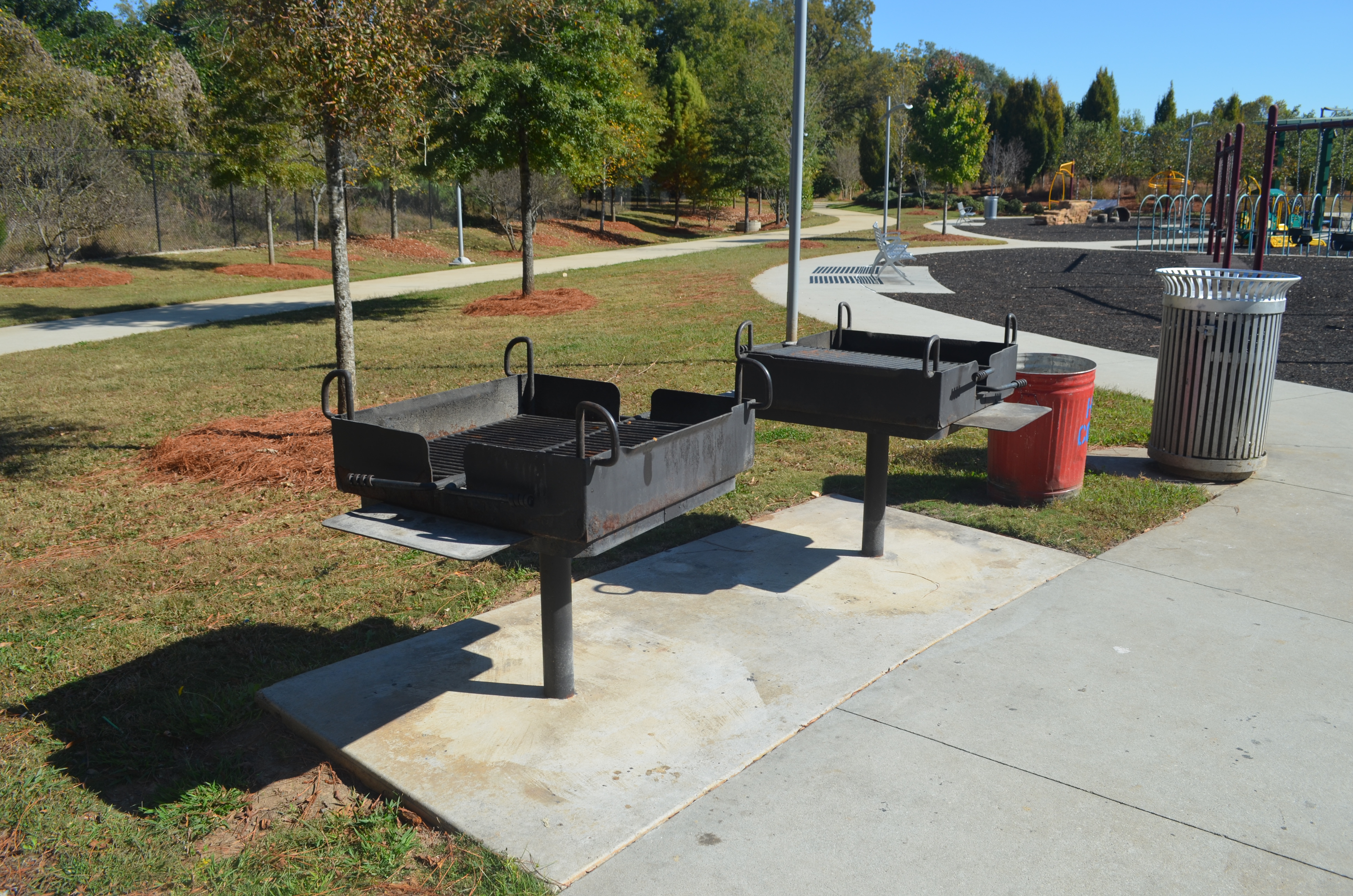
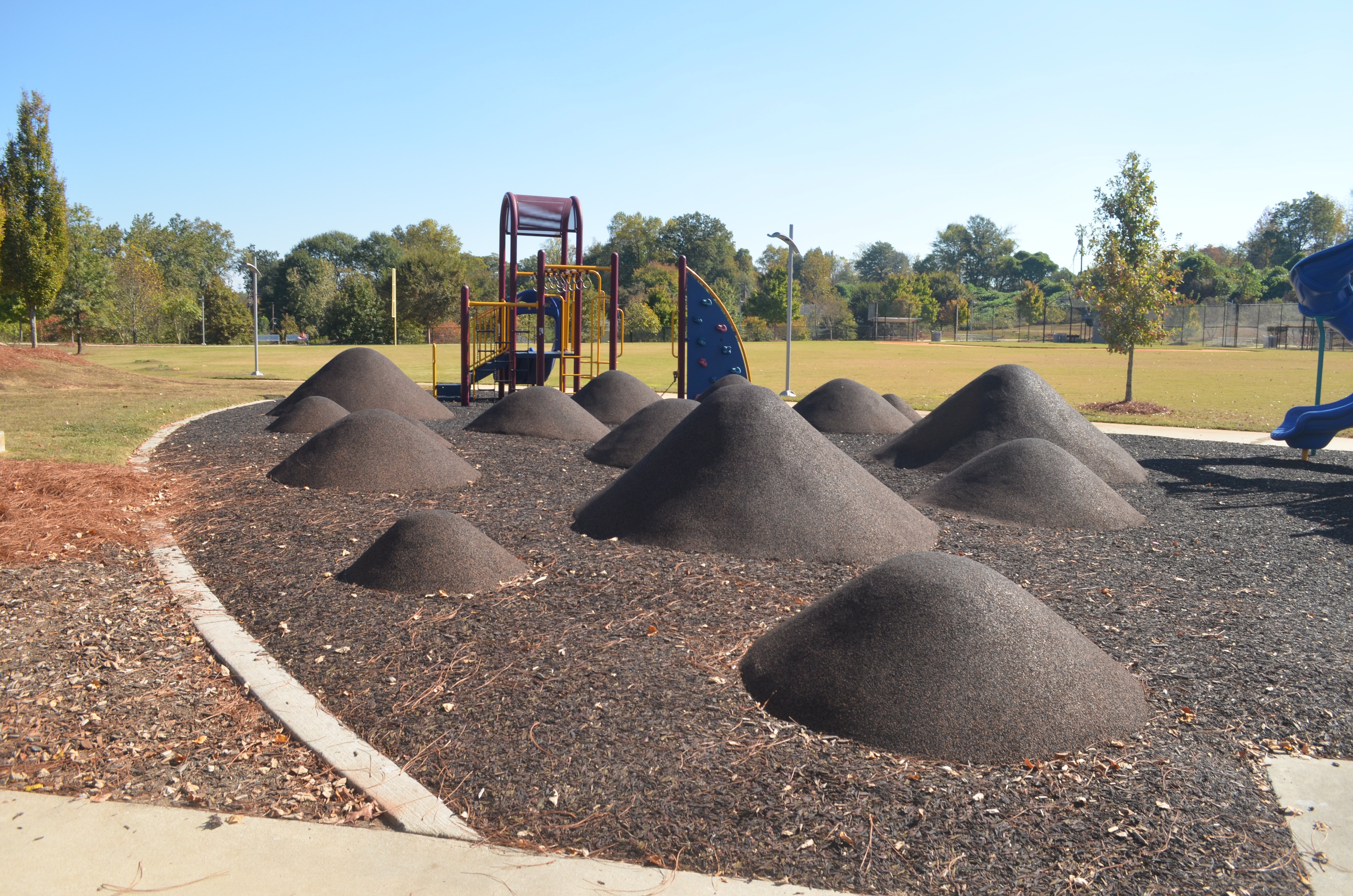
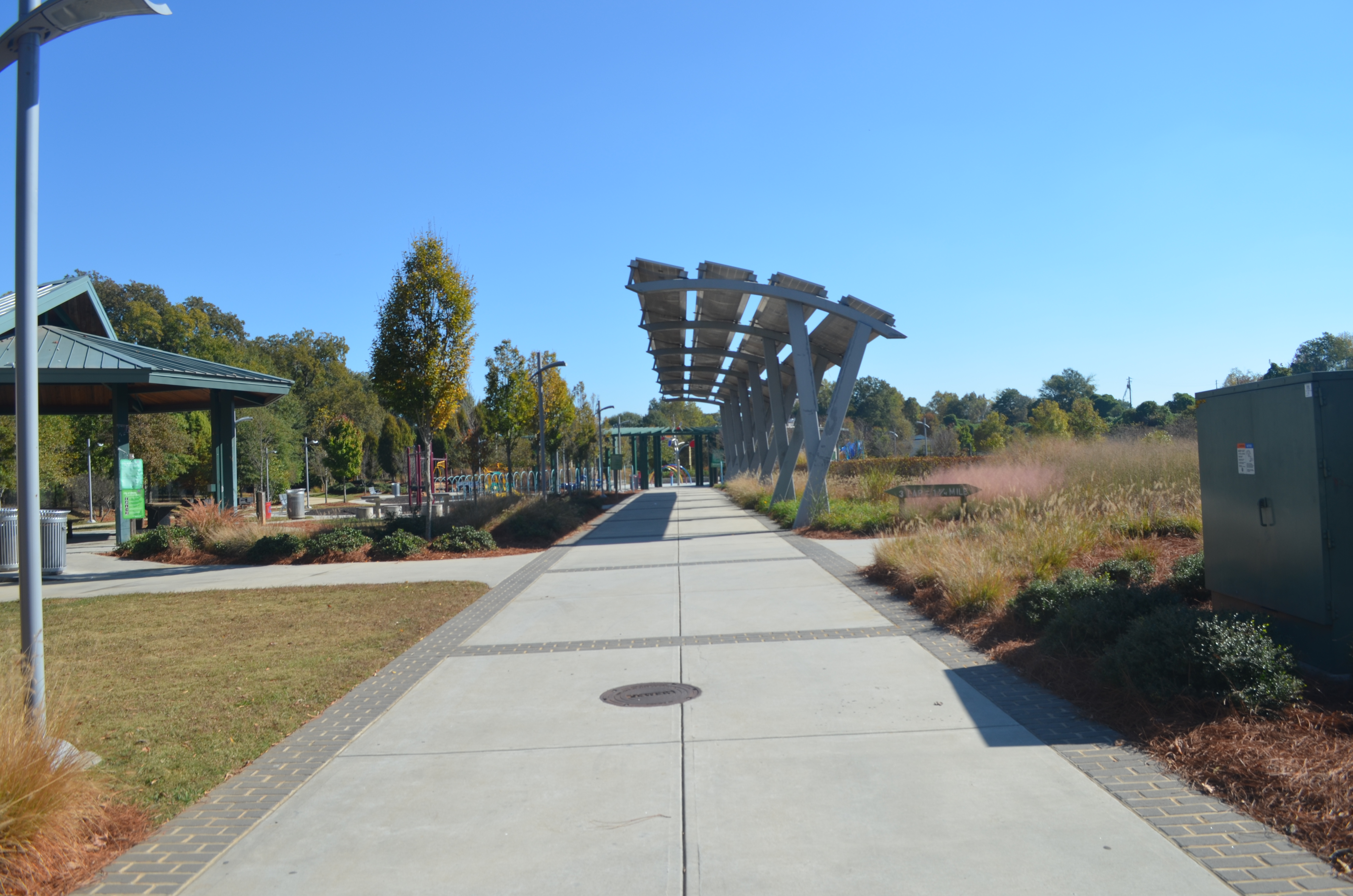
From a political standpoint, the funds necessary to clean out a space like this one are going to be hefty. The Beltline will be under a lot of pressure from Atlantans to use their money wisely and begin showing signs of constructive progress. The completed Eastside Beltline Trail has proven to be a huge success with new businesses and homes popping up and with millions of people coming to it every year. Will people continue to support the project despite the money it takes and despite the gentrification it may cause in some areas? Would such an innovative urban design project such as this one be worth the gentrification it may cause? In my opinion, it is up to the people of the neighborhoods of Atlanta to speak up and make sure their voices are heard by their government and by the Beltline.

Undeveloped Southside Beltline Trail (BED 3, Artifact 7)

img_4616 img_4614 img_4612 img_4609 img_4607 img_4605

The Kudzu. There was so much of it! I had never seen as much kudzu in my entire life living in Georgia than I did on this day. I wondered, as I tried my hardest to picture a concrete trail running through this area, if any of the kudzu would be left behind after the construction. After all, the giant mounds and figures of kudzu in the images wouldn’t necessarily be in the way of the trail. Some Georgians, however, despise the site of kudzu. Perhaps the plant would be demolished due to its appearance and growth ability alone.

Undeveloped Southside Beltline Trail (BED 3, Artifact 6)

img_4598 img_4596

One problem I had when I explored the partially developed Eastside Trail was how it was extremely difficult to access. I had a hard time finding the trail itself, and the public parking I was forced to pay for was a long distance from the trail’s entrance. This trail, while significantly less developed than the one I covered in my first Built Environment Description, was nearly impossible to find access to. The images above show some of my classmates finding difficulty in hiking up what appeared to be a rain outlet in order to get to the trail. The stone pillar on the left of the first image was the beginning of the bridge in my 5th artifact. I think it will be interesting to see what decisions the Beltline makes regarding entryways and access points.

Undeveloped Southside Beltline Trail (BED 3, Artifact 5)

img_4600 img_4593 img_4591

The above pictures show a beautiful old bridge that was the beginning of my hike down the Southside Trail. The bridge has its own set of graffiti art, and its past is unknown to all passerby. It once served as the sturdy bridge for a very important railroad circling Atlanta: the beltline corridor. With the plans in place to establish public transit on the Beltline, I wondered if historic bridges such as this one would need to be replaced to fit a walking trail along with light rail.

Undeveloped Southside Beltline Trail (BED 3, Artifact 4)

img_4628 img_4623 img_4621

One of the most politically and economically appealing aspects of the Beltline project is its urban reuse and renewal. The images above show how the historic, circular railway that the Beltline follows still exists today in this section. Some parts of the rail were more exposed; other parts were nearly impossible to see under the kudzu and various weeds. As someone who loves historical sites, this part of my built environment expeditions was one of my favorites.

Undeveloped Southside Beltline Trail (BED 3, Artifact 3)

img_4626 img_4618 img_4617

As my hike continued, I notice several humungous pieces of untouched infrastructure. Power lines and utility poles ran everywhere, along with a random, untouched slab of concrete in the first image. The spaces in between all of these objects consisted of incredible amounts of kudzu. As someone observing the space with the idea of the Beltline in mind, I could not help but wonder how these spaces would be used. I also wondered just how much money it would take to replenish an area such as this one into a culturally significant trail.

Older posts Newer posts

© 2024 Ali Shiraef

Theme by Anders NorenUp ↑

Skip to toolbar