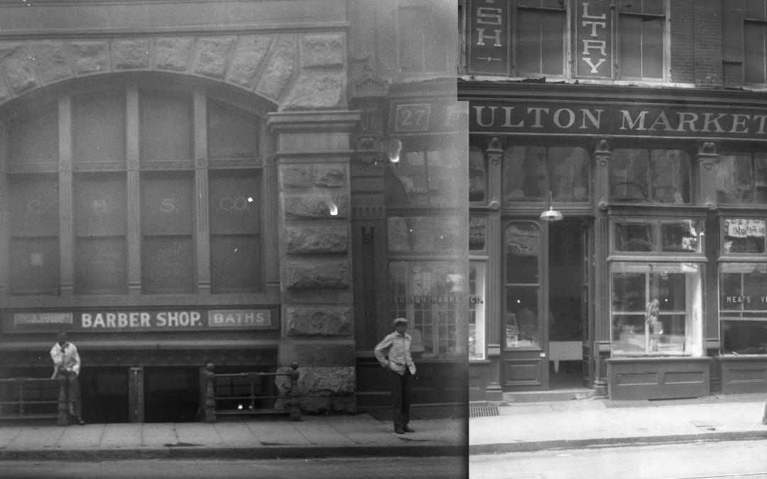
As part of our efforts to map historic Atlanta, SIF fellows have been geo-tagging a collection of glass plate negative photographs from the 1920’s. These beautiful images provide rare glimpses into the area around the Five Points Metro Station, and are particularly noteworthy for showing a number of storefronts that would be submerged by the viaduct into what became known as “Underground Atlanta” just before construction began.
Once the images are geo-tagged, they can be used in a variety of ongoing SIF projects describing the development of Atlanta as an urban space, and be used to populate our 3-D virtual recreation of Atlanta.
Interactive stitched photograph:
Glass Plate Geo-Tagging Project Tutorial:


