by Andrew Berens | Dec 7, 2015 | Atlanta connections, mapping
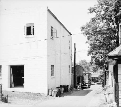
Recently I met with two of the heads of the SIF program, Joe Hurley and Brennan Collins, concerning the photo geotagging project. The photo geotagging project involves determining the location where various photos from the GSU Digital Collections were taken from. The...

by Andrew Berens | Nov 2, 2015 | active learning, mapping
Recently the SIF Web Editors highlighted the project that will be one of my main focuses during my time with the SIF program: the climate lab weather balloon. This project will deploy a moored weather balloon as a way to collect real-time data about the troposphere...


