Hi Everyone,
I practiced with the GoPro camera and I am giving a short review of the camera.
The Pros:
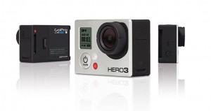
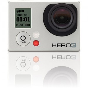
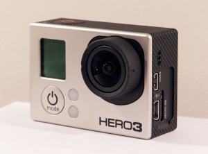
– The GoPro is simple. It only has two buttons. The mode button on the front toggles through different options and the button on the top confirms the options that you choose.
– The GoPro can be mounted to just about anything. Moving vehicles, stationary objects, you name it can be mounted to it.
– The GoPro can film under water. It comes with a waterproof casing, so you can take really cool shots safely under water.
– The GoPro shoots in different resolutions. Up to 4k.
The Challenges:
– It is very small, you can hold it with two fingers. For me I couldn’t help but to think how easily it could be lost.
– Also, because it is small, all of the parts that you can remove are even smaller. Remember to place everything back in the carrying bag. If you always do that, even if you forget where you placed something, at least you will know to look back in the bag.
– It is not a camera for shooting a feature film. It is mainly used for aerial shots and moving vehicles. Definitely do not use it for sound.
Reminders:
– When you first use it, it may not be charged. Pull off the plastic tab on its right side and connect it to a computer using the usb mini cord. It didn’t take very long to charge, I think less than an hour.
– If you have any additional questions or want to see ways to use it, look for a tutorial online. They are very helpful.
Video: Here is a little video that I did with the GoPro. The video on the top left corner was shot with the GoPro. I am running a test to see what it would like if we started from specific points around the campus and gave students a street view, map view, and language view of how to get to just about anywhere. It is just a test so I don’t encourage J-walking LOL
https://www.youtube.com/watch?v=LYg3zOco4o8


This test project looks awesome. From some of the conversations I’ve had in the GSU1010 group, it does appear that one of the needs of students in addition resources for understanding navigation. I have always tended to do that with maps, of course, but THIS has some major benefits. I sure would have loved to have had this to help me navigate the different levels of Decatur and Courtland when I first got to campus.
Nothing like a GoPro HERO4 BLACK professional
You can buy it or a lot of crazy items forming on the GoPro HERO4 BLACK
Buy N Enjoy – http://goo.gl/KJG4WA
wooww amazing.. sangat mengesankan sekali
subhanallah is great @