


As an archaeologist, it is understood that one must wear multiple hats – as it were. During my time at Georgia State University I have worn many – Anthropology Student, Archaeology Student, Mentor, Student Innovation Fellow and Graduate Assistant – to name a few. I am also a member of Proyecto Costa Escondida – an archaeological project which spans multiple institutions and fields. Through this project I have the opportunity to collaborate with other students from around the nation – and in fact the world.
This semester I have been working on coordinating a field season with other members of the project from the University of California San Diego – Students of the Center of Interdisciplinary Science for Art Architecture and Archaeology (CISA3). This field expedition has a number of purposes within the scope of the Student Innovation Fellowship. Primarily – the students as CISA3 who joined me in Mexico this March are interested in the same sorts of uses for Unmanned Aerial Systems in scientific research that I have been working on this past 2 semesters. However, these students represent a cross section of the technical experts and innovators – though with different specific skill sets – similar to those students sought by the Student Innovation Fellowship The notable difference being that CISA3 is an established institution. CISA3 was able to provide incredible support for this field expedition, funding travel and accommodations and providing additional aircraft – in addition to the students.
The goal of this collaboration was to jointly develop best practices for the deployment and use of Unmanned Aerial Systems in scientific research. Because of the experience afforded so far by the Student Innovation Fellowship – I was uniquely positioned to contribute to this venture. By encouraging development of skills and ability well outside of the usual purview of an archaeologist I “hit the ground running” so to speak. This field season and the results from it represent one of the major accomplishments of my time as a student innovation fellow.
In the 4 days of flying data we have looked through so far – over 1,000 km of missions with 40,000 photos – the mission was an incredible success. We captured near infrared (NIR) and visible (RGB) imagery over many areas of interest. The primary task now will be the processing and analysis of the imagery collected. Below is a sample of images collected during this field season. For my next post I will have results from preliminary checks of the 3D modeling phase of data processing.

NIR, Image of cattle pen on a Rancho.

NIR Image of the main Platform at Conil.

NIR Image of fields.

NIR Image of a historic canal.

RGB image of fields and forest.

RGB Image of cleared field.

RGB image of Punto Gallo.

RGB image of fields and forest.

RGB image of road and forest

RGB image of wetland oxbow.

Wetlands and mangrove.

Fresh water flowing into brackish wetlands near Vista Alegre

Wetlands and beach near Vista Alegre.

RGB Image of Conil
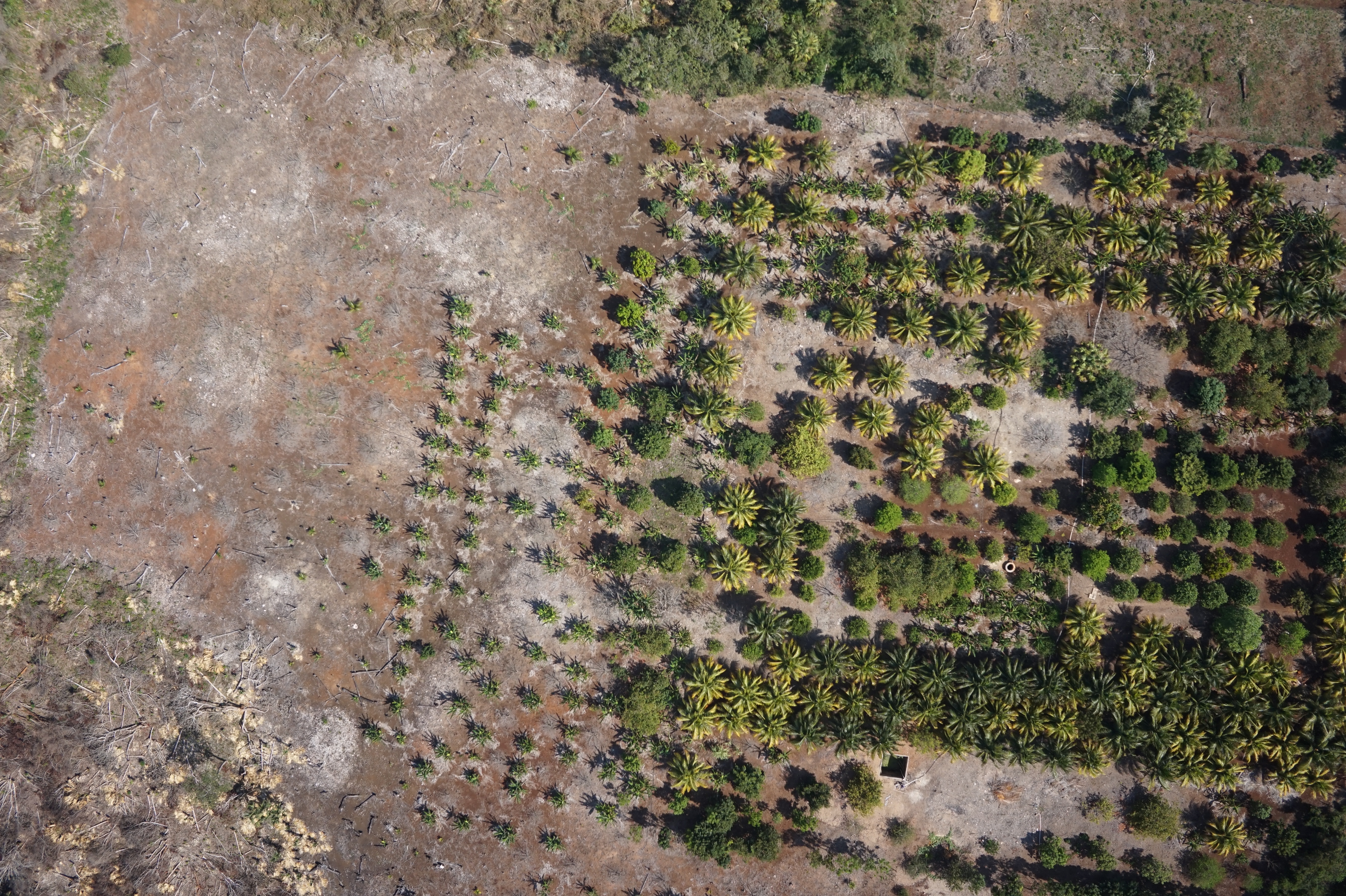
RGB image of an orchard.

Flying in manual mode.
