Archeologist Reveals Secrets Of Maya Site
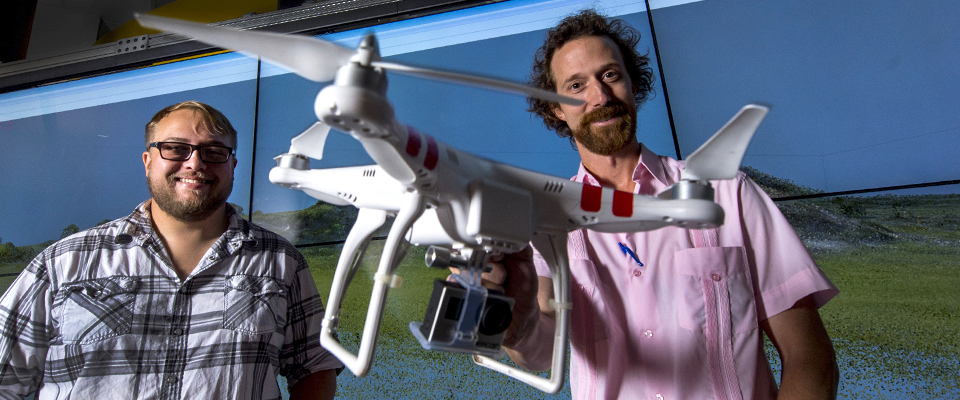
Featured today on the Georgia State home page is an interesting piece on our own Jeffrey Glover, Associate Professor of Anthropology (R), and graduate student and Student Innovation Fellow Andrew Vaughan (L) who are mapping ruins at Conil, an ancient Maya port just outside the modern Mexican town of Chiquilá, about 100 miles northwest of Cancun.
They flew a small drone helicopter, equipped with an HD GoPro camera that takes a photo every second, to gather aerial footage of the area and excavation sites where they are uncovering evidence of ancient building projects. The images, along with shell, stone and ceramic artifacts, hint at the lives of the site’s inhabitants 500 to 2,000 years ago.
Glover and Vaughn have been utilizing the technology in CURVE, including the interactWall and 4K Workstation, to experiment with 3D modeling software (Agisoft PhotoScan) that reconstructs textured 3D models using digital photos of the scene.
“I’m blown away by the scale and quality of the image,” said Glover. “This is as close as one could get to a tour of the site center without traveling to Mexico. With the satellite imagery, I’m amazed that I can virtually “walk” across the entire Yalahau region, which is 40 to 60 kilometers, without changing the scale of the image.”
Read the full story here, and see a live demo of this research at the CURVE Ribbon Cutting Ceremony on September 10, 2014, beginning at 2:00.